Zamidara

Agriculture Operations

Time-saving methods for enhanced farming practices

Agriculture Drone Spraying & Fertilizer Spreading

We use advanced farming drone technology to provide precise, efficient, and eco-friendly spraying and fertilizer spreading services. Our solutions save time and reduce labor costs while ensuring optimal crop yield and sustainability.

Time-Saving

Reduces manual labor and speeds up farming operations.

Precision

Ensures targeted application, reducing waste and enhancing efficiency.

Eco-Friendly

Minimal chemical runoff, contributing to a healthier environment.

Agriculture Land Survey

We offer comprehensive land surveys using modern tools to provide accurate data for land analysis. Our services help farmers understand their soil health, crop suitability, and land potential. This empowers them to make informed decisions for better productivity and sustainable land management.

Data-Driven Decisions

Helps farmers plan and implement effective farming practices.

Increased Productivity

Identifies optimal areas for specific crops and maximizes yield.

Sustainability

Ensures soil health and long-term land productivity.

Farmer Awareness

We believe that knowledge is power. Our team is dedicated to aware and training farmers as well as communities on modern agricultural technologies and time-saving techniques. By empowering local farmers with skills in drone operations, smart farming tools, and sustainable practices, we ensure they stay ahead of the curve in today’s competitive agricultural world.

Skill Development

Equip farmers with the latest technology and techniques.

Community Empowerment

Elevating local farmers to be self-reliant and informed.

Sustainability Focus

Educating environmentally friendly farming methods.

Trainings We Provide

Drone Pilot Training

Become a certified drone pilot with DGCA-approved hands-on training in safe flying, crop monitoring, precision spraying, and agricultural applications. Gain skills to operate drones efficiently for farming, land surveying, and more – boosting productivity and reducing costs.

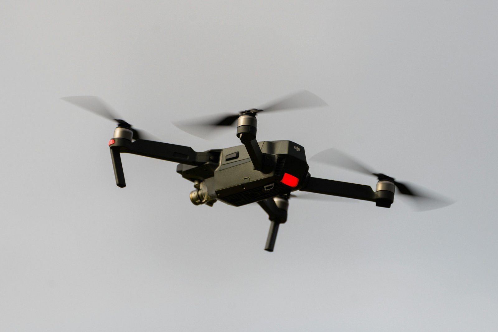
Aerial Cinematography

Master stunning aerial videography and photography using drones for professional shots, content creation, social media reels, and video monitoring. Learn advanced flight techniques, camera settings, smooth cinematic moves, and editing basics to capture breathtaking visuals for any purpose.

Train the Trainer

Equip yourself to become a certified drone instructor and train others in drone operations, safety, and applications. Build leadership skills with hands-on modules, lesson planning, and program delivery to empower communities, SHGs, and organizations.

Training Program

Comprehensive awareness and practical training programs on drone & IoT tech for farming optimization, productivity enhancement, and diverse needs. From basics to advanced hands-on sessions – designed for individuals, farmers, FPOs, and communities to revolutionize agriculture and create new opportunities.
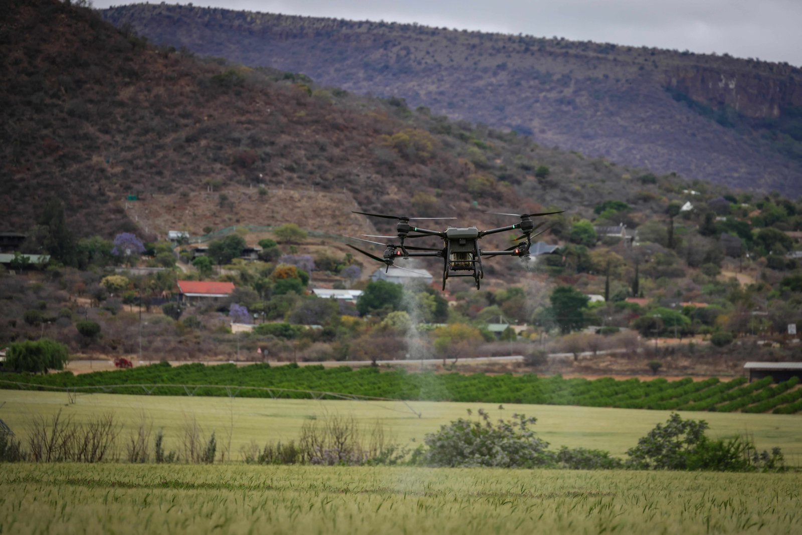
Drones in Agriculture

Drones are revolutionizing farming by enabling precision spraying of pesticides and fertilizers, reducing chemical use by up to 30-90%, saving water, and minimizing labor costs. They provide real-time crop health monitoring, early pest/disease detection, and accurate field mapping for better yields and sustainable practices. In Punjab and across India, drone technology boosts productivity, lowers input expenses, and empowers farmers with smart, efficient solutions for a greener future.

Our Services

Drone Awareness and Training Programs: Hands-on Learning with Real-World Applications ZAU

Our comprehensive awareness and training programs equip you with the knowledge and skills needed to work efficiently and use drones effectively across a variety of sectors:

Agricultural Drones

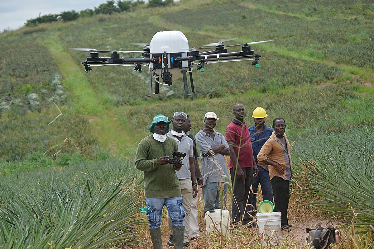
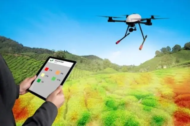
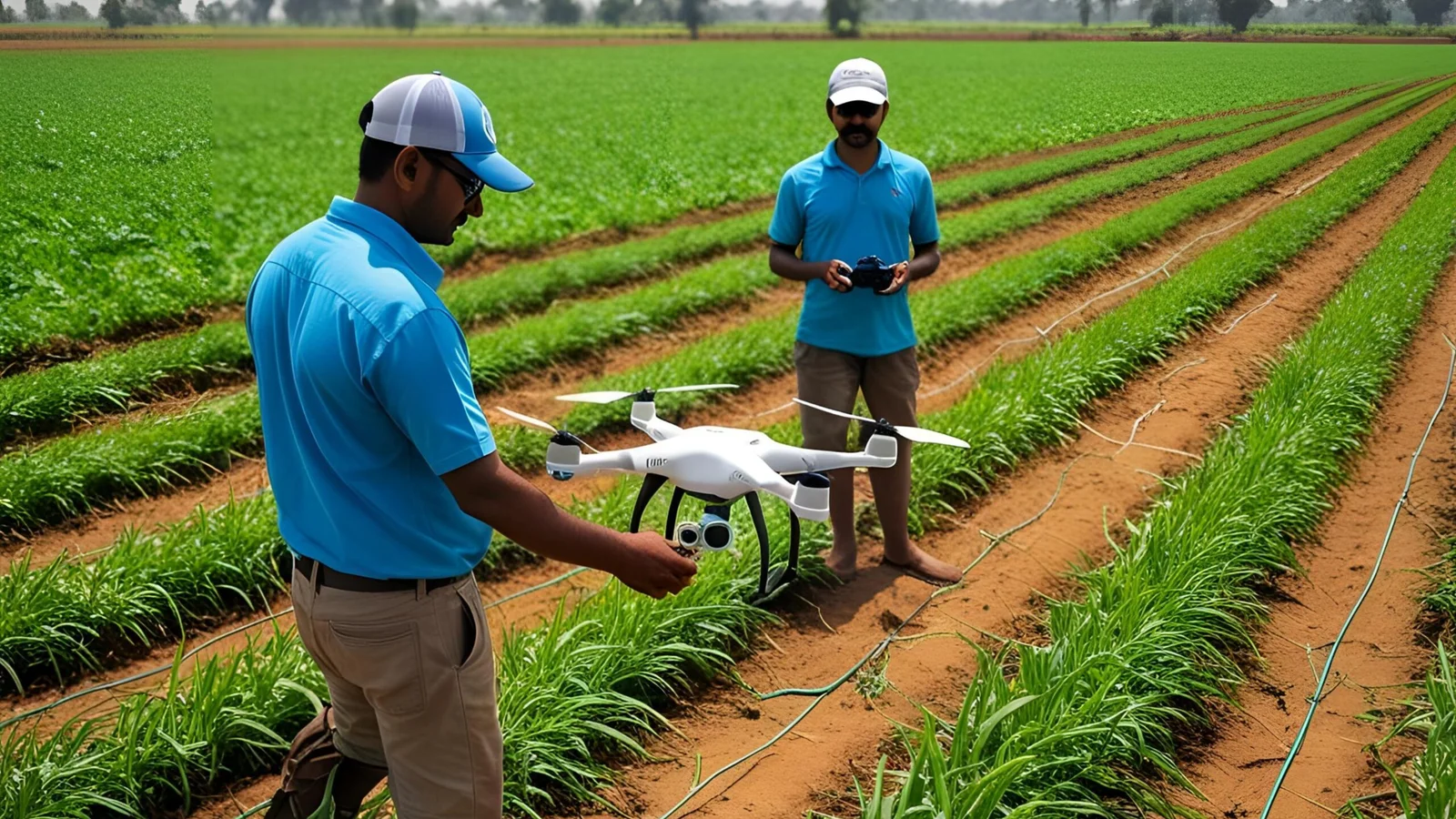
Learn the uses of drones and their impact on crop spraying, monitoring plant health, and aerial agricultural surveys to enhance productivity and sustainability. When we become aware of future technologies like drones and robotics, we can improve our skills, farming systems, and communities, and understand how to obtain the license to apply them in the real world.

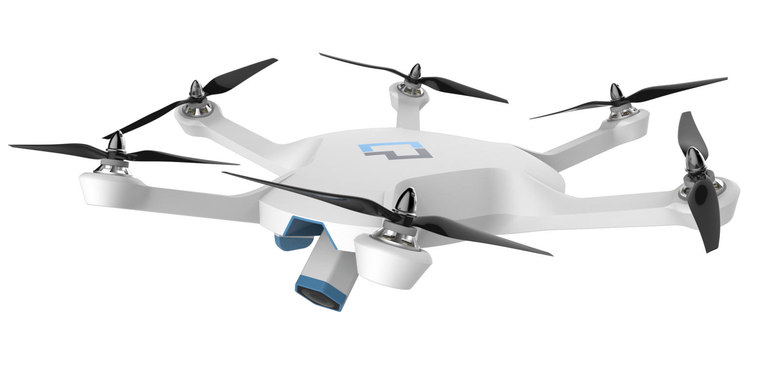
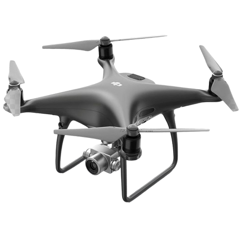
Surveying Drones (GIS Embedded)

Learn how surveying drones with GIS technology are used for accurate land mapping, topographic surveys, and data collection. When we become aware of these technologies, we can apply our knowledge to solve real-world problems and pursue certification.

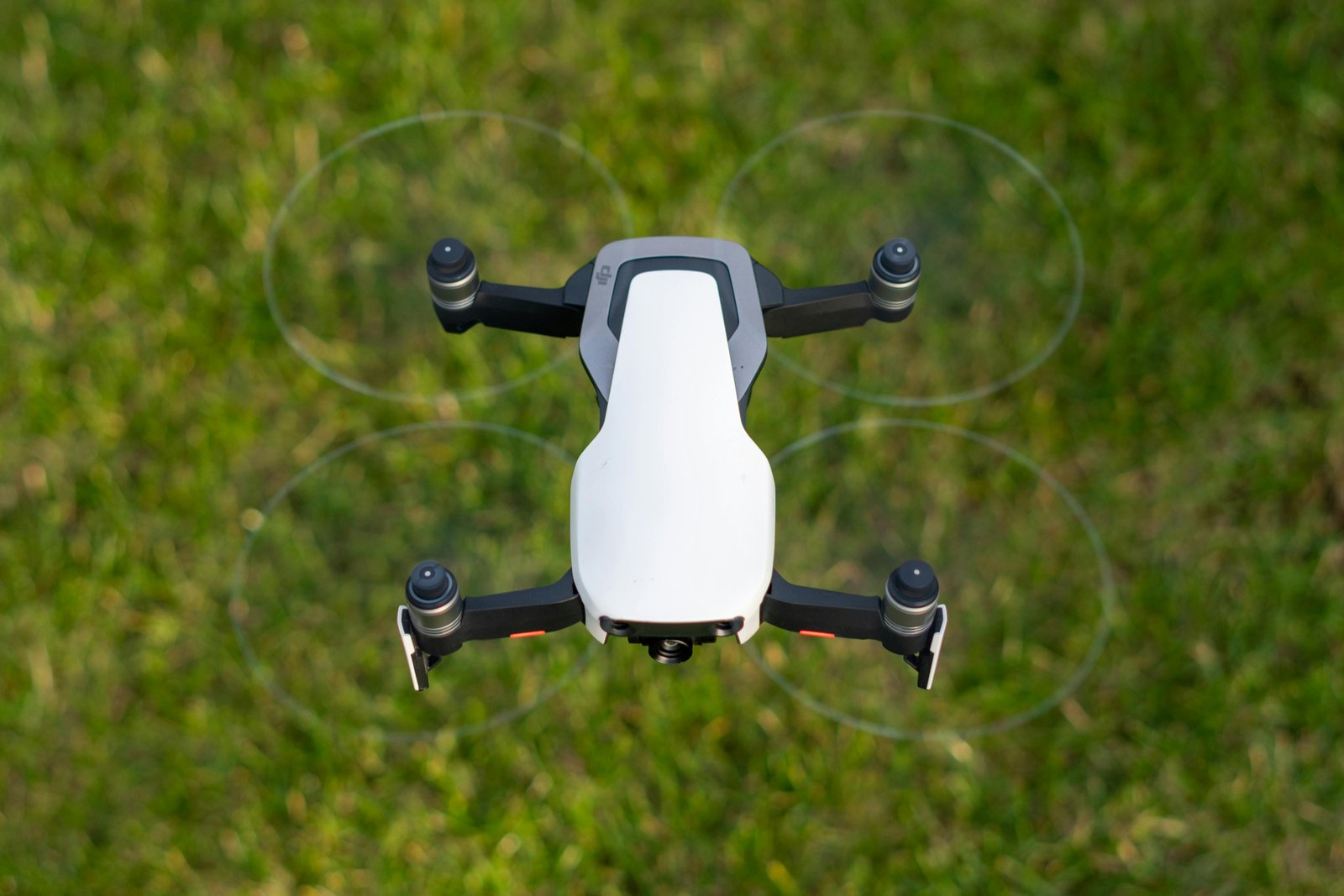
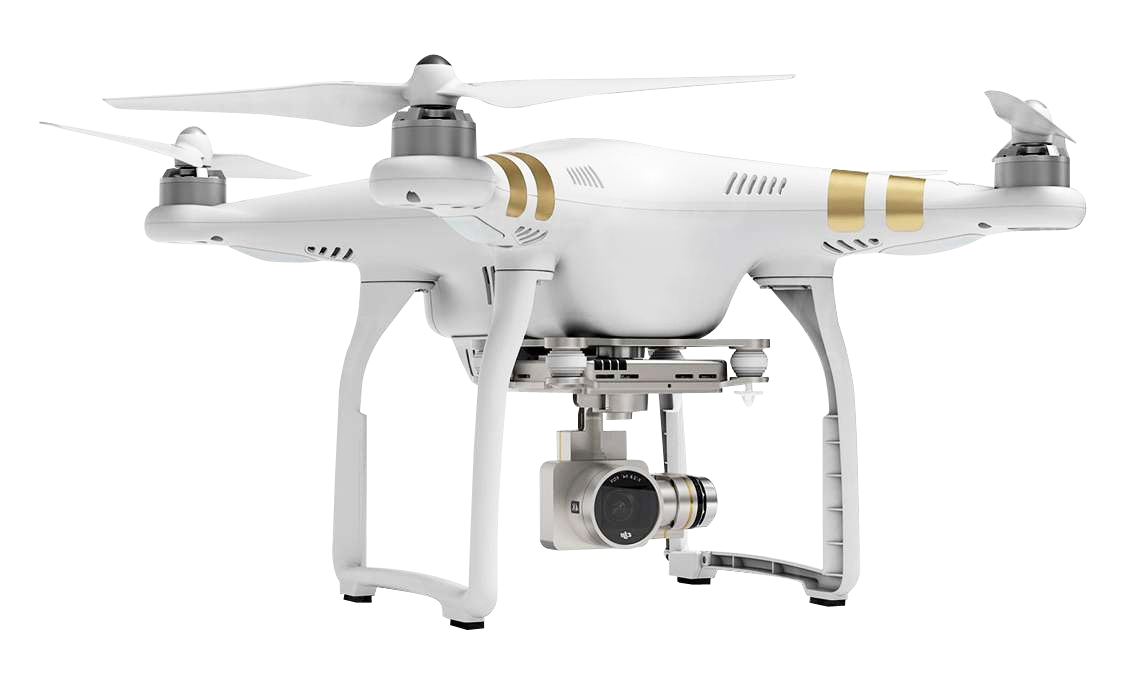
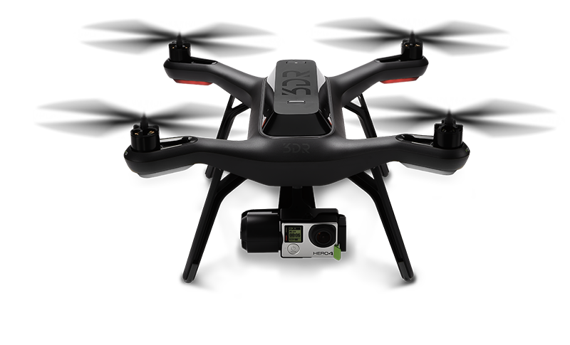
Cinematography Drones

Learn about the types of drones used for content creation and aerial videography, and how to obtain the certification or license to apply them in the real world. When we become aware of these technologies, we can create high-quality content from a new perspective.
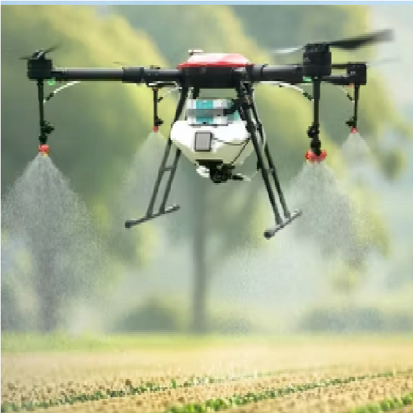
Survey & Surveillance

Master advanced drone surveying and surveillance techniques with our expert training! Learn precise land mapping, topographic data collection, real-time monitoring, and high-resolution aerial surveillance using GIS-integrated drones. Ideal for agriculture, construction, security, and infrastructure projects – gain DGCA-certified skills to deliver accurate insights, enhance safety, and solve real-world challenges from the sky!

Video-Graphy

Level up your skills in Drone Cinematography: Learn advanced aerial filming, gimbal mastery, dynamic shots, and editing tips in this hands-on course. Capture epic perspectives safely and professionally – turn your drone into a powerful tool for content creation and filmmaking!

Industries we Serve

Agriculture

Drones help in crop monitoring, pesticide spraying, and soil health analysis. They provide farmers with valuable data to enhance crop yield and reduce the need for manual labor.

Film and Photography

Drones have revolutionized cinematography by offering breathtaking aerial shots in movies, commercials, and documentaries.

Delivery Services

Companies are exploring drone delivery for small parcels, making shipping faster and more efficient, especially in hard-to-reach areas.

Surveillance and Security

Drones are used for surveillance, law enforcement, and crowd monitoring, providing real-time data in emergencies or large events.

Our Partners