Aspiring Drone Pilots
Your First Step to a Professional Drone Career
Want to get certified as a professional drone pilot? Awareness in drone services like agriculture, inspections, filming, surveying, spraying, and more is your first step toward unlocking a rewarding career in India’s fastest-growing drone industry.
Why Become a Professional Drone Pilot?
India’s drone market is exploding – agriculture, real estate, filmmaking, infrastructure, and govt schemes (Kisan Drone Yojana,) create thousands of jobs every year.As a certified pilot, you can earn 25,000–50,000 per month at the start (40,000–100,000 with experience), work freelance or with companies and enjoy flexible, outdoor work.
DGCA Certification Roadmap
We assist for Remote Pilot Certificate (RPC) in various states through an authorised training centre:
- Eligibility: 18+ years, 10th pass (English helpful).
- Course: As per needs of professionals and modern era.
- Validity: RPC valid 10 years for small drones (up to 25kg), ready for commercial flying in green zones.
- opportunities: High demand career in surveillance, agriculture mapping, cinematography, infrastructure inspection, defense, and disaster management.
Hands-On Skills You’ll Master
Learn real-world drone operations:
- Safe takeoff/landing, VLOS flying, battery management, emergency procedures.
- Precision applications: crop spraying, plant health monitoring, land surveying, aerial filming/inspections.
- IOT based Engineering: IoT-based engineering enhances drone manufacturing, maintenance, and operational efficiency using intelligent sensors and real-time monitoring systems. By working directly with smart devices and control systems, learners gain the skills needed for modern drone technology and Hands-on learning empowers learners to build, troubleshoot, and fly drones with confidence, turning innovation into real-world aerial solutions.
- Equipment handling: Pre-flight checks, weather assessment, basic maintenance. Hands-on flying in controlled fields near Hanumangarh – build confidence fast!
High-Demand Career Paths
Choose your direction after certification:
- Agricultural Drone Pilot – spraying, monitoring in Punjab/Haryana/Rajasthan/MP/UP/UK, Eastern and Western farmers of India.
- Survey & Mapping Pilot – land records, construction, real estate projects.
- Aerial Cinematographer – weddings, events, social media content, films.
- Inspection Pilot – infrastructure, solar panels, power lines. We help with resume, portfolio building, and connect you to local employers/freelance gigs.
Post-Certification Support & Growth
After training:

3-6 months refresher flying sessions + doubt-clearing group.

Updates on new DGCA rules (BVLOS, advanced categories).

Alumni network for job leads, partnerships, and advanced courses.

Guidance on buying/registering your own drone and starting freelance work.
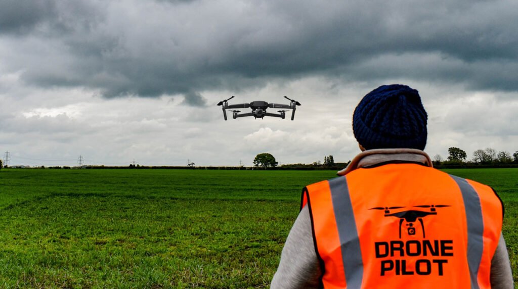
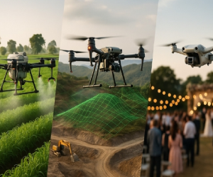
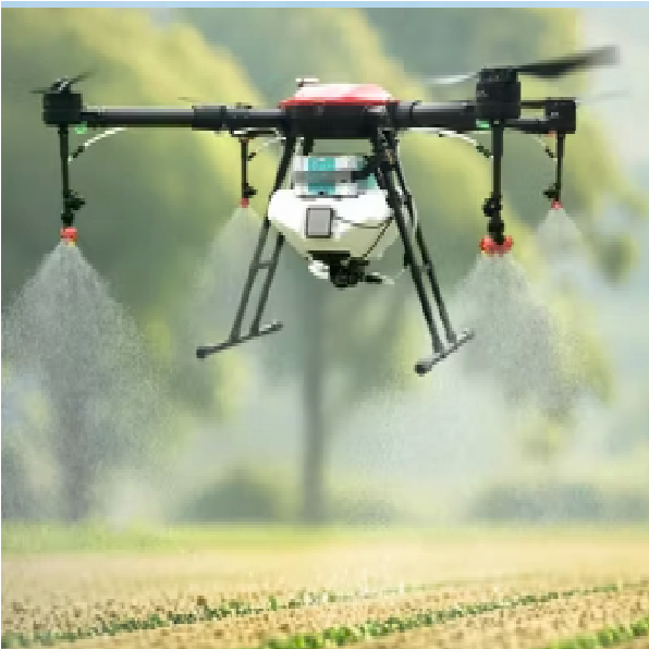
Drones in Agriculture
Drones are revolutionizing farming by enabling precision spraying of pesticides and fertilizers, reducing chemical use by up to 30-90%, saving water, and minimizing labor costs. They provide real-time crop health monitoring, early pest/disease detection, and accurate field mapping for better yields and sustainable practices. In Punjab and across India, drone technology boosts productivity, lowers input expenses, and empowers farmers with smart, efficient solutions for a greener future.
Our Services
Drone Awareness and Training Programs: Hands-on Learning with Real-World Applications ZAU
Our comprehensive awareness and training programs equip you with the knowledge and skills needed to work efficiently and use drones effectively across a variety of sectors:

Agricultural Drones
Learn the uses of drones and their impact on crop spraying, monitoring plant health, and aerial agricultural surveys to enhance productivity and sustainability. When we become aware of future technologies like drones and robotics, we can improve our skills, farming systems, and communities, and understand how to obtain the license to apply them in the real world.

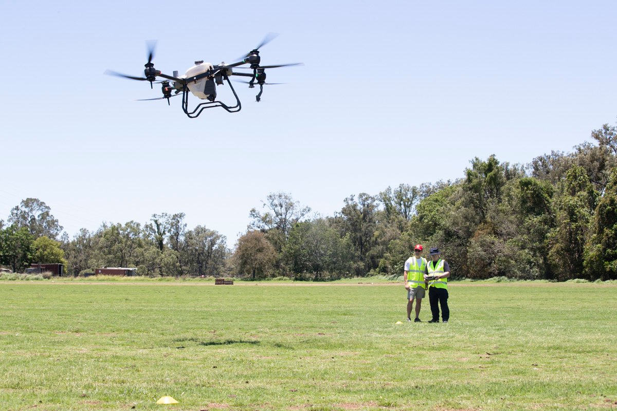
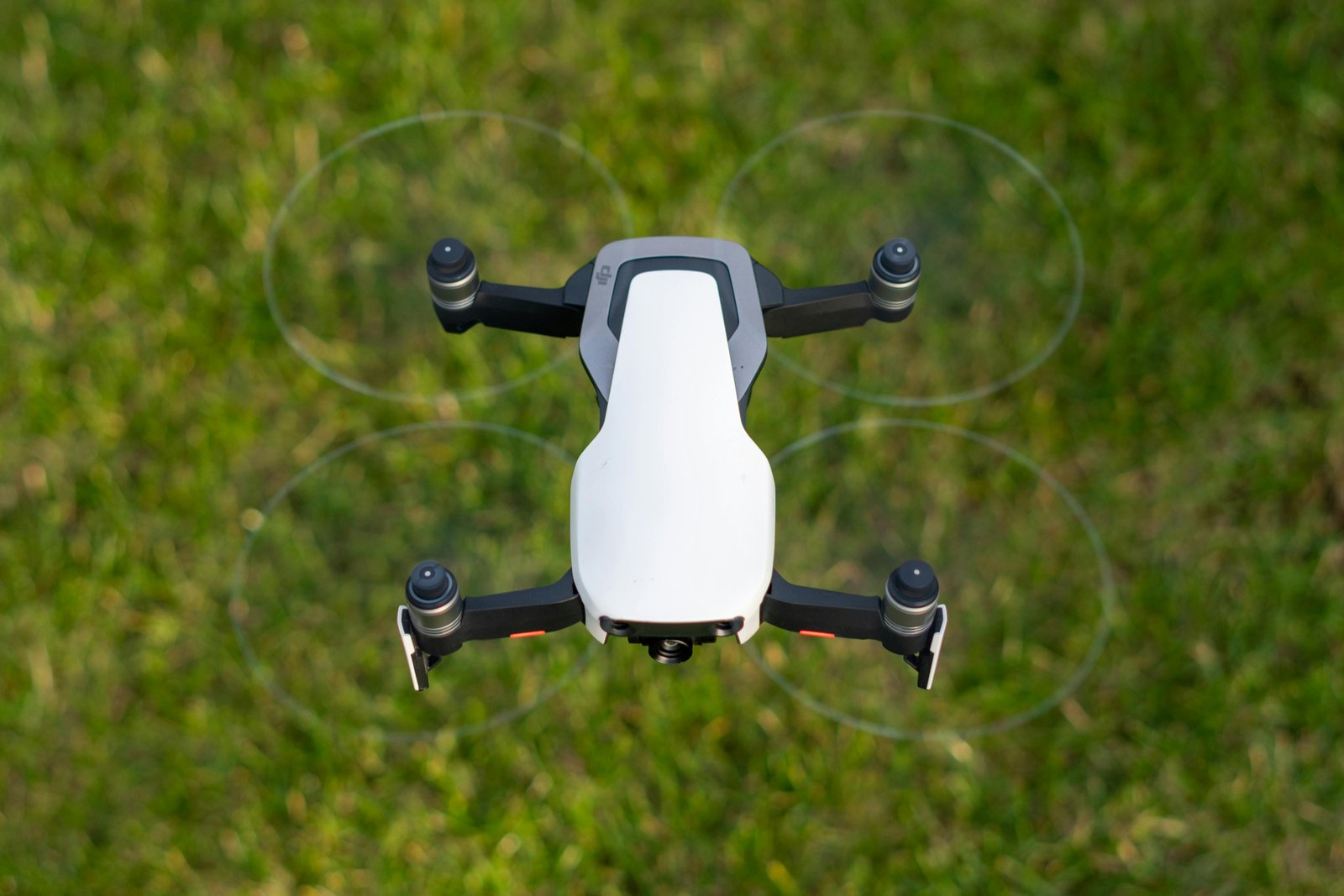
Surveying Drones (GIS Embedded)
Learn how surveying drones with GIS technology are used for accurate land mapping, topographic surveys, and data collection. When we become aware of these technologies, we can apply our knowledge to solve real-world problems and pursue certification.

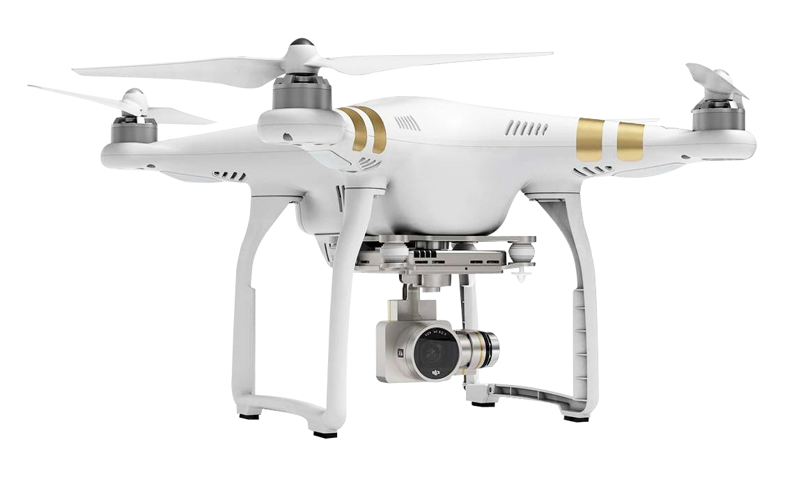
Cinematography Drones
Learn about the types of drones used for content creation and aerial videography, and how to obtain the certification or license to apply them in the real world. When we become aware of these technologies, we can create high-quality content from a new perspective.
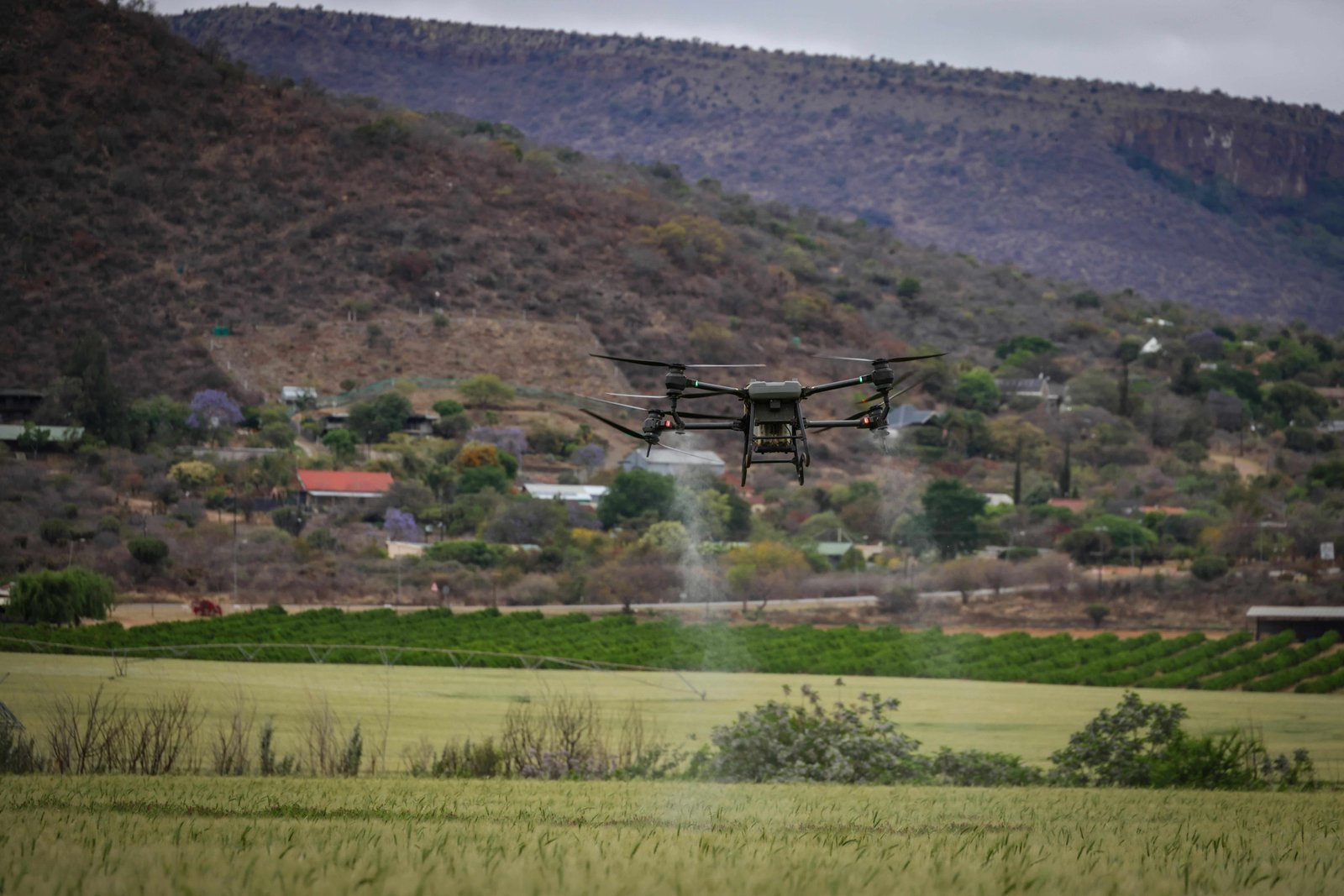
Survey & Surveillance
Master advanced drone surveying and surveillance techniques with our expert training! Learn precise land mapping, topographic data collection, real-time monitoring, and high-resolution aerial surveillance using GIS-integrated drones. Ideal for agriculture, construction, security, and infrastructure projects – gain DGCA-certified skills to deliver accurate insights, enhance safety, and solve real-world challenges from the sky!
Video-Graphy
Level up your skills in Drone Cinematography: Learn advanced aerial filming, gimbal mastery, dynamic shots, and editing tips in this hands-on course. Capture epic perspectives safely and professionally – turn your drone into a powerful tool for content creation and filmmaking!
Industries we Serve

Agriculture
Drones help in crop monitoring, pesticide spraying, and soil health analysis. They provide farmers with valuable data to enhance crop yield and reduce the need for manual labor.

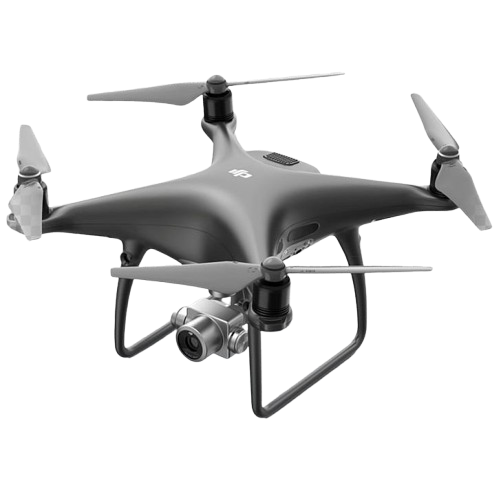
Film and Photography
Drones have revolutionized cinematography by offering breathtaking aerial shots in movies, commercials, and documentaries.

Delivery Services
Companies are exploring drone delivery for small parcels, making shipping faster and more efficient, especially in hard-to-reach areas.

Surveillance and Security
Drones are used for surveillance, law enforcement, and crowd monitoring, providing real-time data in emergencies or large events.
Our Partners


